
D53 Tidal Gauge Boards for Ports, Harbours & MarinasTidal Board
What is a tidal gauge board?
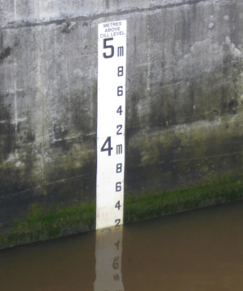
A tidal gauge board is a specialist water level indicator designed for use in tidal rivers, harbours, and marina entrances where clear, accurate water depth information is essential for safe navigation.
What are the benefits of a D53 tidal gauge board?
Unlike narrower inland gauge boards, the D53 format is typically 300 mm wide, with large, highly visible graduations that can be read from a considerable distance by approaching vessels. It is widely used around the UK at ports, harbours and marinas.
What materials are water depth gauge boards made from?
Due to the harsh nature of marine environments, durability is one of the defining characteristics of the D53 design. Modern boards are manufactured from Glass Reinforced Plastic (GRP), which can withstand the fluctuating conditions of coastal waterways.
The graduations and numerals are permanently resin-encapsulated within the board rather than being applied as surface graphics. This method protects the markings from ultraviolet degradation, saltwater, abrasion from floating debris, and the constant wetting and drying cycles associated with tidal locations.
GRP is also resistant to corrosion and not susceptible to rot or delamination that can affect timber or plywood alternatives.
Why choose a D53 for Harbours & Marinas?
For harbour authorities and marina operators, the D53 gauge board provides a simple but highly reliable visual reference that requires minimal maintenance. Regular inspection and occasional cleaning are generally all that is needed to ensure decades of service. This makes it a cost-effective and dependable aid to navigation in challenging coastal environments such as Pwllheli – see full case study below.
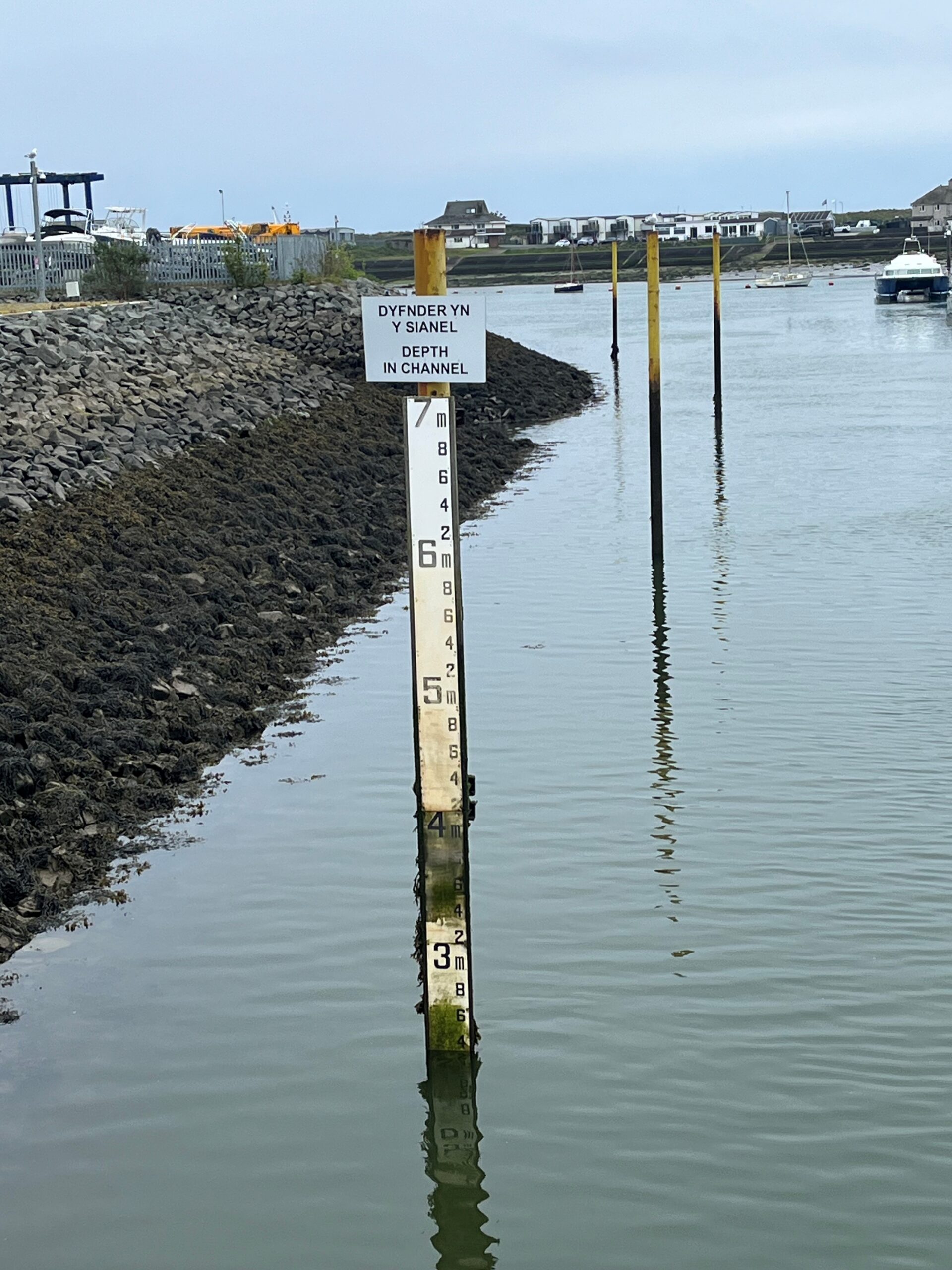
Easy-to-Read Gauge Boards for Pwllheli Marina
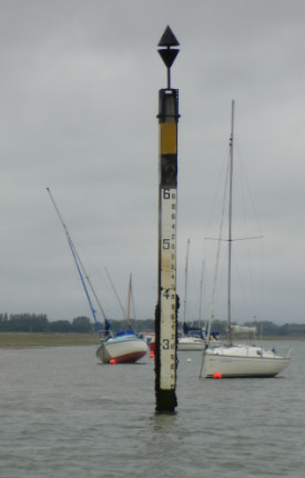
We recently produced a series of D50 gauge boards for Pwllheli Marina. The marina entrance is dredged and relies on tidal access for many deeper-draught vessels.
The area experiences substantial tidal variation, with Mean High Water Springs of around 5.0 metres and Mean Low Water Springs of approximately 0.5 metres, giving a spring tidal range of about 4.5 metres.
This significant fluctuation makes an easily readable gauge board an essential navigational tool, enabling skippers to judge the available depth in the approach channel and plan arrivals and departures safely and efficiently.

A combination of D50 & D53 Gauge Boards at Cardiff Docks
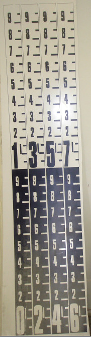
We recently faced an interesting commissioning at Cardiff Docks as a combination of seawater and freshwater areas required specifications that we had never completed before. Cardiff Bay, the Barrage, Inner and Outer Harbours and parts of the Rivers Taff and Ely are all managed by Cardiff Harbour Authority who in turn are part of Cardiff Council, 200 hectares of freshwater lake was created in 2001, and the combined seawater and freshwater meant that freshwater boards like the D50 had to be positioned on one side of the wall whilst on the other the D53 tidal board was on view, in some locations it was required that a new board had to be created incorporating the D50 and D53 on the same board.
Other Projects
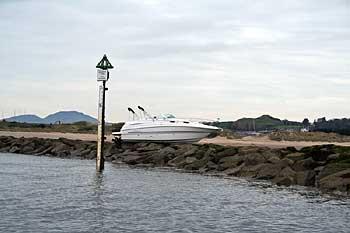
Take a look at our gallery below to see examples of tidal gauge boards we have produced for Cardiff Bay Barrage, Hayling Island, Port of London Authority and Pwllehi.
Enquire About Tidal Gauge Boards
Complete a short form to discuss your project with our experienced team. We’re here to support you with any questions you may have about gauge boards for your local waterway.